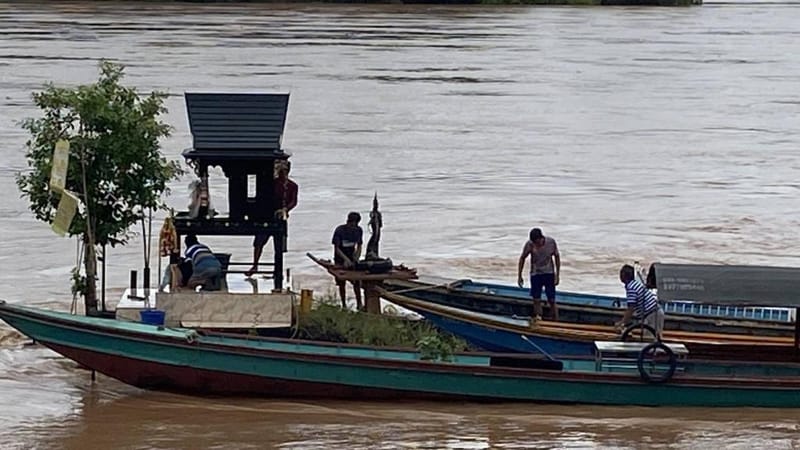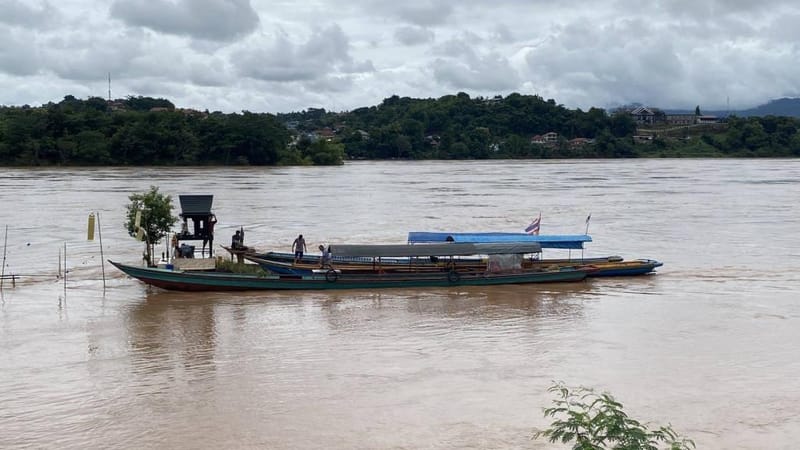
Golden Triangle — The Jinghong Dam in Xishuangbanna Autonomous Prefecture, Yunnan Province, People's Republic of China, has stored water at its highest level in several months. The Mekong River in the Golden Triangle basin has risen along its entire course, surpassing surveillance levels from Chiang Saen all the way to Wiang Kaen before flowing into the Lao PDR. Residents of Chiang Khong have had to travel by boat to ceremonially relocate the "Chao Pho Pha Than Shrine" ashore, temporarily enshrining it at a pavilion of a nearby temple.
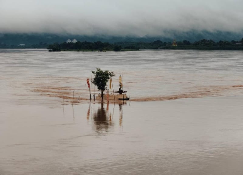
Today (9 Aug.), water levels in the Mekong River along the Thai–Lao PDR border in the Golden Triangle basin — spanning Chiang Saen District, Chiang Khong District, and Wiang Kaen District in Chiang Rai Province — have continued to rise steadily. At the measuring point in front of Chiang Saen District Office, the level recorded on 1 Aug. was 4.95 metres, on 2 Aug. it was 5.10 metres, before stabilising briefly, then rising to 7.18 metres on 8 Aug. As of this morning, the latest reading stands at 7.37 metres.
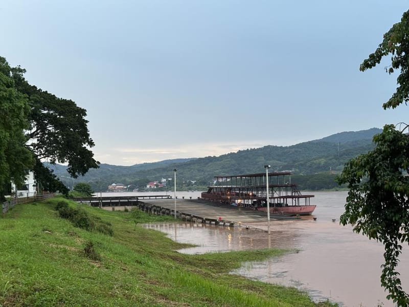
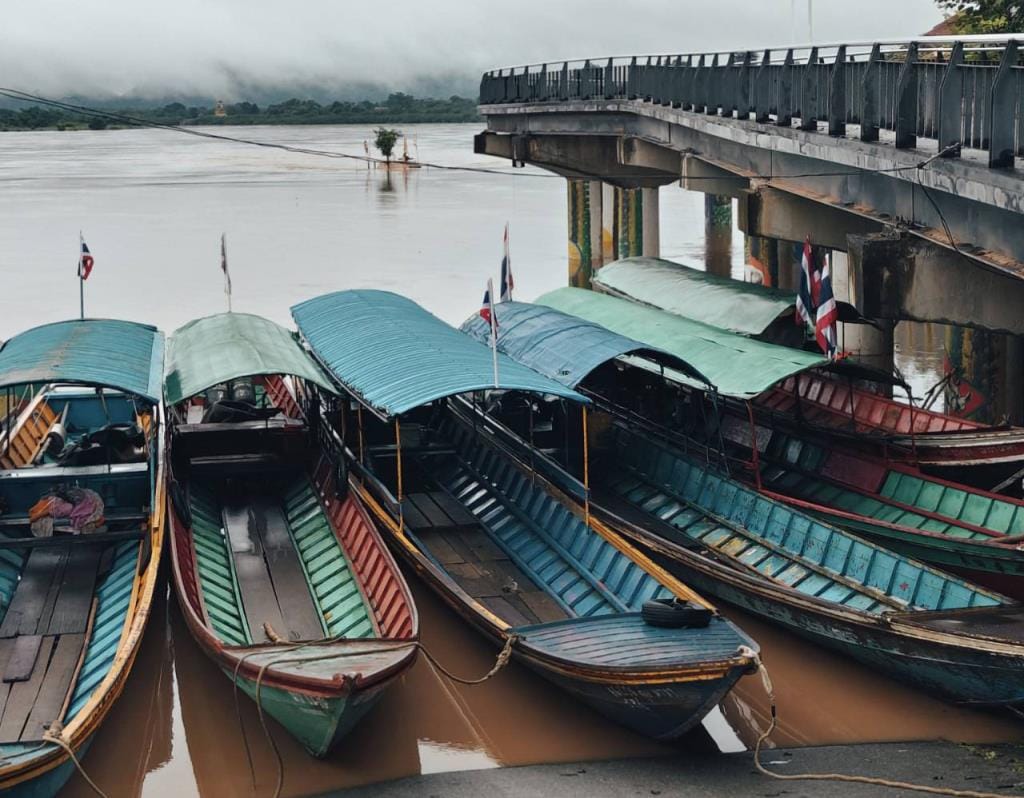
In Chiang Khong District, the small boat pier and the Chao Pho Pha Than Shrine have been completely inundated by the swelling water. Boat operators have moved their vessels to safety, and the Chao Pho Pha Than Shrine — which normally stands on a rock outcrop rising from the middle of the Mekong River — has been temporarily relocated and enshrined at the pavilion in front of Wat Luang (Chai Sathan), Wiang Subdistrict, Chiang Khong District, which is situated nearby.
Meanwhile, the Chiang Khong River Station of the Mekong River Order Maintenance Naval Unit (NRKH), Chiang Rai Zone, has measured the water level at Chiang Khong District. The established bank level is 11 metres and the surveillance alert level is 8 metres; the current reading has reached 8.74 metres, already exceeding the surveillance threshold. In addition, buildings in low-lying areas in several locations have begun to flood, such as at the relaxed border crossing point of Ban Chaem Pong, Wiang Kaen District, among others.
District administrative authorities of Chiang Khong, the NRKH Chiang Rai Zone, the River Police, the Office of Disaster Prevention and Mitigation (DDPM), and other agencies are required to closely monitor the situation.
As for the Jinghong Dam, located in the Xishuangbanna Autonomous Prefecture, Yunnan Province, China — the Chinese dam closest to Thailand — its water storage level has also increased. The latest reading shows the stored water level at approximately 538 metres, the highest it has been in several months, believed to be the result of continuous rainfall.